
WinProfile Sharp
Postprocessing
Postprocessing embraces a range of modules including:
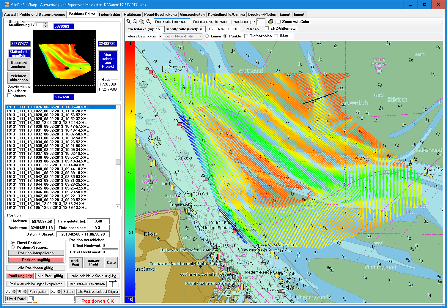
A position editor for the correction of positions.
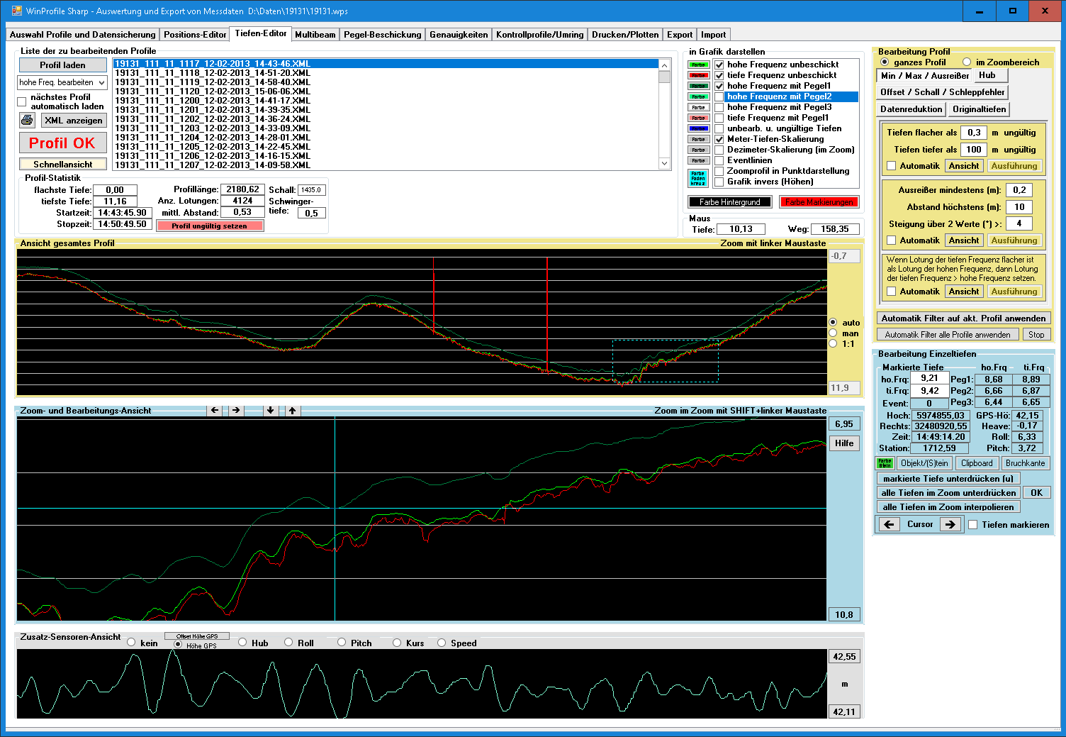
A depth editor for the cleansing of erroneous data from echosounding surveys in order to comply smoothing and reduced ground modelling.
Water level correction.
Statistic tools for precision evaluation.
Export of data to other kinds of standardized geodata formats and for the import and processing of data in CAD and GIS.
Auswertung Havelberg

Side Scan Sonar

Positions Editor
Tiefen Editor
Positions Editor
Tiefen Editor